
Thank you for supporting this site ❤️
Make a donation
Make a donation
Rwankeri topographic map
Click on the map to display elevation.
Thank you for supporting this site ❤️
Make a donation
Make a donation
About this map
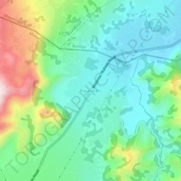
Name: Rwankeri topographic map, elevation, terrain.
Location: Rwankeri, Mukamira, Nyabihu, Western Province, Rwanda (-1.59926 29.50840 -1.55926 29.54840)
Average elevation: 2,310 m
Minimum elevation: 2,183 m
Maximum elevation: 2,625 m
Thank you for supporting this site ❤️
Make a donation
Make a donation