
Thank you for supporting this site ❤️
Make a donation
Make a donation
Emondi topographic map
Click on the map to display elevation.
Thank you for supporting this site ❤️
Make a donation
Make a donation
About this map
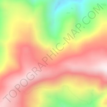
Name: Emondi topographic map, elevation, terrain.
Location: Emondi, Intan Jaya, La Papouasie, Indonésie (-3.66980 136.71837 -3.64980 136.73837)
Average elevation: 2,104 m
Minimum elevation: 1,697 m
Maximum elevation: 2,363 m
Thank you for supporting this site ❤️
Make a donation
Make a donation
Other topographic maps
Click on a map to view its topography, its elevation and its terrain.