
Lost River topographic map
Interactive map
Click on the map to display elevation.
About this map
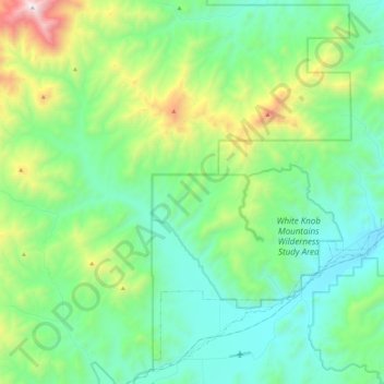
Name: Lost River topographic map, elevation, terrain.
Location: Lost River, Custer County, Idaho, États-Unis d'Amérique (43.66949 -113.65445 43.82447 -113.42586)
Average elevation: 2,198 m
Minimum elevation: 1,798 m
Maximum elevation: 3,415 m