
Thank you for supporting this site ❤️
Make a donation
Make a donation
Fancha Tohon Gari topographic map
Click on the map to display elevation.
Thank you for supporting this site ❤️
Make a donation
Make a donation
About this map
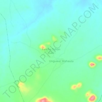
Name: Fancha Tohon Gari topographic map, elevation, terrain.
Location: Fancha Tohon Gari, Tarai, Kibiya, Kano State, Nigeria (11.43300 8.69639 11.47300 8.73639)
Average elevation: 537 m
Minimum elevation: 508 m
Maximum elevation: 639 m
Thank you for supporting this site ❤️
Make a donation
Make a donation