
Thank you for supporting this site ❤️
Make a donation
Make a donation
Keruak topographic map
Click on the map to display elevation.
Thank you for supporting this site ❤️
Make a donation
Make a donation
About this map
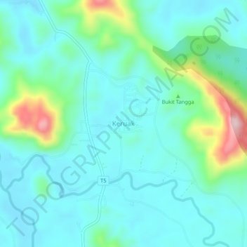
Name: Keruak topographic map, elevation, terrain.
Location: Keruak, Besut, Terengganu, Malaysia (5.46677 102.47670 5.50677 102.51670)
Average elevation: 83 m
Minimum elevation: 23 m
Maximum elevation: 316 m
Thank you for supporting this site ❤️
Make a donation
Make a donation
Other topographic maps
Click on a map to view its topography, its elevation and its terrain.