
Thank you for supporting this site ❤️
Make a donation
Make a donation
Tunbridge topographic map
Click on the map to display elevation.
Thank you for supporting this site ❤️
Make a donation
Make a donation
About this map
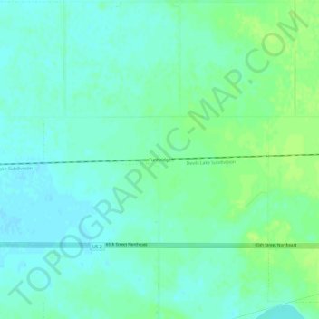
Name: Tunbridge topographic map, elevation, terrain.
Location: Tunbridge, Pierce County, North Dakota, United States (48.34583 -100.12625 48.38583 -100.08625)
Average elevation: 458 m
Minimum elevation: 453 m
Maximum elevation: 465 m
Thank you for supporting this site ❤️
Make a donation
Make a donation