
Croyde topographic map
Interactive map
Click on the map to display elevation.
About this map
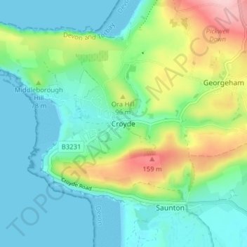
Name: Croyde topographic map, elevation, terrain.
Location: Croyde, North Devon, Devon, Angleterre, EX33 1PF, Royaume-Uni (51.11034 -4.24154 51.15034 -4.20154)
Average elevation: 51 m
Minimum elevation: 0 m
Maximum elevation: 183 m