
军山湖 topographic map
Interactive map
Click on the map to display elevation.
About this map
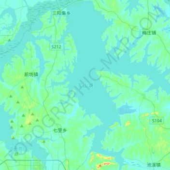
Name: 军山湖 topographic map, elevation, terrain.
Location: 军山湖, 七里乡, 进贤县, 南昌市, 江西省, 中国 (28.39066 116.24969 28.63069 116.47377)
Average elevation: 22 m
Minimum elevation: 10 m
Maximum elevation: 122 m