
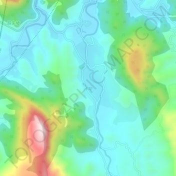
沙坝 topographic map
Interactive map
Click on the map to display elevation.
About this map
Name: 沙坝 topographic map, elevation, terrain.
Location: 沙坝, 筠连县, 宜宾市, 四川省, 中国 (28.09386 104.45201 28.13386 104.49201)
Average elevation: 596 m
Minimum elevation: 464 m
Maximum elevation: 1,011 m