
Rucker topographic map
Interactive map
Click on the map to display elevation.
About this map
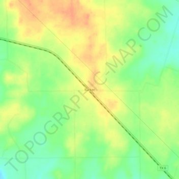
Name: Rucker topographic map, elevation, terrain.
Location: Rucker, Comanche County, Texas, United States of America (32.14514 -98.62283 32.18514 -98.58283)
Average elevation: 417 m
Minimum elevation: 395 m
Maximum elevation: 436 m