
Thank you for supporting this site ❤️
Make a donation
Make a donation
Monday topographic map
Click on the map to display elevation.
Thank you for supporting this site ❤️
Make a donation
Make a donation
About this map
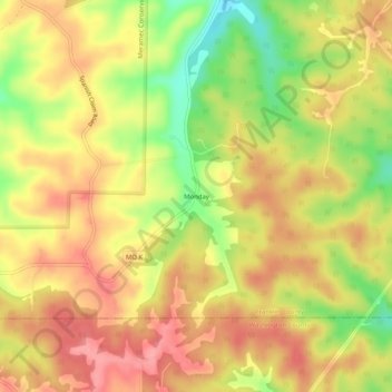
Name: Monday topographic map, elevation, terrain.
Location: Monday, Franklin County, Missouri, United States (38.19672 -91.04125 38.23672 -91.00125)
Average elevation: 245 m
Minimum elevation: 184 m
Maximum elevation: 285 m
Thank you for supporting this site ❤️
Make a donation
Make a donation
Other topographic maps
Click on a map to view its topography, its elevation and its terrain.