
Thank you for supporting this site ❤️
Make a donation
Make a donation
Randum topographic map
Click on the map to display elevation.
Thank you for supporting this site ❤️
Make a donation
Make a donation
About this map
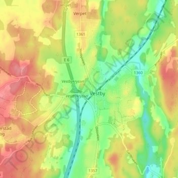
Name: Randum topographic map, elevation, terrain.
Location: Randum, Vestby, Comté d'Akershus, 1543, Norvège (59.58345 10.72377 59.62345 10.76377)
Average elevation: 87 m
Minimum elevation: 45 m
Maximum elevation: 128 m
Thank you for supporting this site ❤️
Make a donation
Make a donation