
Thank you for supporting this site ❤️
Make a donation
Make a donation
Paccha topographic map
Click on the map to display elevation.
Thank you for supporting this site ❤️
Make a donation
Make a donation
About this map
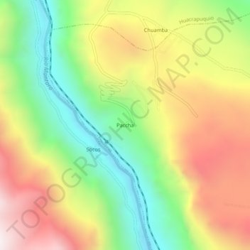
Name: Paccha topographic map, elevation, terrain.
Location: Paccha, Cullhuas, Huancayo, Junín, Perú (-12.24249 -75.23526 -12.20249 -75.19526)
Average elevation: 3,665 m
Minimum elevation: 3,111 m
Maximum elevation: 4,304 m
Thank you for supporting this site ❤️
Make a donation
Make a donation