
Thank you for supporting this site ❤️
Make a donation
Make a donation
Shell Island topographic map
Click on the map to display elevation.
Thank you for supporting this site ❤️
Make a donation
Make a donation
About this map
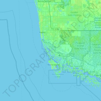
Name: Shell Island topographic map, elevation, terrain.
Location: Shell Island, Collier County, Florida, United States (25.70537 -82.05592 26.34537 -81.41592)
Average elevation: 2 m
Minimum elevation: -3 m
Maximum elevation: 26 m
Thank you for supporting this site ❤️
Make a donation
Make a donation
Other topographic maps
Click on a map to view its topography, its elevation and its terrain.
Thank you for supporting this site ❤️
Make a donation
Make a donation
Thank you for supporting this site ❤️
Make a donation
Make a donation