
Scharl topographic map
Interactive map
Click on the map to display elevation.
About this map
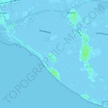
Name: Scharl topographic map, elevation, terrain.
Location: Scharl, Friesland, Niederlande, 8721, Niederlande (52.84802 5.37358 52.88802 5.41358)
Average elevation: -1 m
Minimum elevation: -4 m
Maximum elevation: 8 m