
Thank you for supporting this site ❤️
Make a donation
Make a donation
Namjung topographic map
Click on the map to display elevation.
Thank you for supporting this site ❤️
Make a donation
Make a donation
About this map
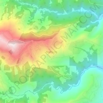
Name: Namjung topographic map, elevation, terrain.
Location: Namjung, Sahid Lakhan, Gorkha, Gandaki Province, Nepal (27.91427 84.68645 27.95427 84.72645)
Average elevation: 726 m
Minimum elevation: 400 m
Maximum elevation: 1,274 m
Thank you for supporting this site ❤️
Make a donation
Make a donation
Other topographic maps
Click on a map to view its topography, its elevation and its terrain.