
Haslach topographic map
Interactive map
Click on the map to display elevation.
About this map
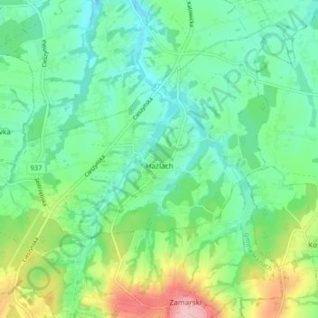
Name: Haslach topographic map, elevation, terrain.
Average elevation: 290 m
Minimum elevation: 248 m
Maximum elevation: 391 m
Other topographic maps
Click on a map to view its topography, its elevation and its terrain.
Teschen
Polen > Woiwodschaft Schlesien > powiat cieszyński > Teschen
Teschen, powiat cieszyński, Woiwodschaft Schlesien, 43-400, Polen
Average elevation: 313 m