
Valender topographic map
Interactive map
Click on the map to display elevation.
About this map
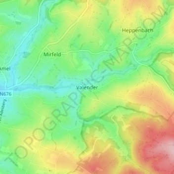
Name: Valender topographic map, elevation, terrain.
Location: Valender, Amel, Verviers, Luik, Wallonië, 4771, België (50.33001 6.18047 50.37001 6.22047)
Average elevation: 504 m
Minimum elevation: 436 m
Maximum elevation: 610 m