
Thank you for supporting this site ❤️
Make a donation
Make a donation
Carbo topographic map
Click on the map to display elevation.
Thank you for supporting this site ❤️
Make a donation
Make a donation
About this map
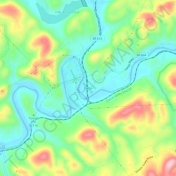
Name: Carbo topographic map, elevation, terrain.
Location: Carbo, Russell County, Virginia, 24225, United States (36.90844 -82.21430 36.94844 -82.17430)
Average elevation: 535 m
Minimum elevation: 447 m
Maximum elevation: 698 m
Thank you for supporting this site ❤️
Make a donation
Make a donation
Other topographic maps
Click on a map to view its topography, its elevation and its terrain.