
Thank you for supporting this site ❤️
Make a donation
Make a donation
Carbon topographic map
Click on the map to display elevation.
Thank you for supporting this site ❤️
Make a donation
Make a donation
About this map
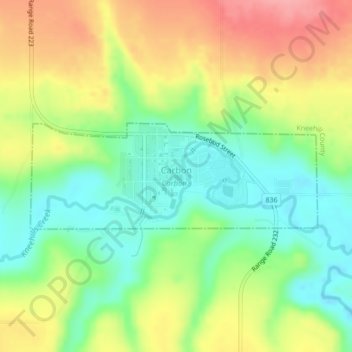
Name: Carbon topographic map, elevation, terrain.
Location: Carbon, Alberta, T0M 0L0, Canada (51.48140 -113.16963 51.48954 -113.13423)
Average elevation: 812 m
Minimum elevation: 767 m
Maximum elevation: 868 m
Thank you for supporting this site ❤️
Make a donation
Make a donation