
Montero topographic map
Interactive map
Click on the map to display elevation.
About this map
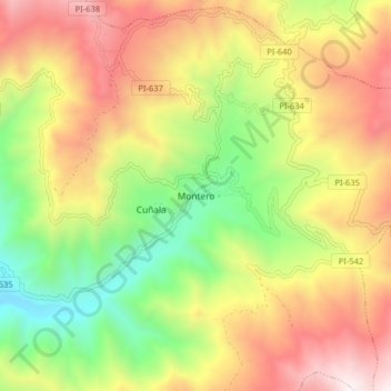
Name: Montero topographic map, elevation, terrain.
Location: Montero, Provincia de Ayabaca, Departamento de Piura, Perú (-4.67215 -79.86894 -4.59215 -79.78894)
Average elevation: 1,558 m
Minimum elevation: 724 m
Maximum elevation: 2,468 m