
Thank you for supporting this site ❤️
Make a donation
Make a donation
Castros topographic map
Click on the map to display elevation.
Thank you for supporting this site ❤️
Make a donation
Make a donation
About this map
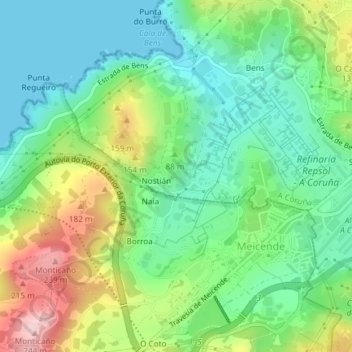
Name: Castros topographic map, elevation, terrain.
Location: Castros, Nostián, Visma, La Coruña, Galicia, 15191, España (43.34093 -8.46727 43.36093 -8.44727)
Average elevation: 81 m
Minimum elevation: 0 m
Maximum elevation: 244 m
Thank you for supporting this site ❤️
Make a donation
Make a donation