
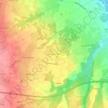
Chez Rouchilloux topographic map
Interactive map
Click on the map to display elevation.
About this map
Name: Chez Rouchilloux topographic map, elevation, terrain.
Average elevation: 338 m
Minimum elevation: 282 m
Maximum elevation: 382 m
Other topographic maps
Click on a map to view its topography, its elevation and its terrain.
Chez Vinatier
France > Auvergne-Rhône-Alpes > Puy-de-Dôme > Orléat
Chez Vinatier, Orléat, Thiers, Puy-de-Dôme, Auvergne-Rhône-Alpes, France métropolitaine, 63190, France
Average elevation: 370 m
Chez Bontemps
France > Auvergne-Rhône-Alpes > Puy-de-Dôme > Orléat
Chez Bontemps, Orléat, Thiers, Puy-de-Dôme, Auvergne-Rhône-Alpes, France métropolitaine, 63190, France
Average elevation: 355 m