
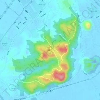
十八罗汉山森林公园 topographic map
Interactive map
Click on the map to display elevation.
About this map
Name: 十八罗汉山森林公园 topographic map, elevation, terrain.
Location: 十八罗汉山森林公园, 大岗镇, 南沙区, 广州市, 广东省, 中国 (22.77877 113.38973 22.80293 113.40995)
Average elevation: 20 m
Minimum elevation: -23 m
Maximum elevation: 114 m