
Thank you for supporting this site ❤️
Make a donation
Make a donation
Hatta Hill Park topographic map
Click on the map to display elevation.
Thank you for supporting this site ❤️
Make a donation
Make a donation
About this map
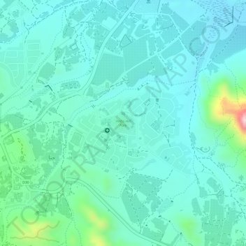
Name: Hatta Hill Park topographic map, elevation, terrain.
Location: Hatta Hill Park, Hatta, Dubai, United Arab Emirates (24.80002 56.12783 24.80251 56.13071)
Average elevation: 334 m
Minimum elevation: 286 m
Maximum elevation: 527 m
Thank you for supporting this site ❤️
Make a donation
Make a donation
Other topographic maps
Click on a map to view its topography, its elevation and its terrain.