
Katwe-Kikorongo Volcanic Field topographic map
Interactive map
Click on the map to display elevation.
About this map
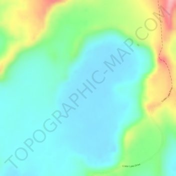
Name: Katwe-Kikorongo Volcanic Field topographic map, elevation, terrain.
Average elevation: 1,069 m
Minimum elevation: 1,026 m
Maximum elevation: 1,171 m
Other topographic maps
Click on a map to view its topography, its elevation and its terrain.
Middle Portal
Middle Portal, Kasese, Western Region, Ouganda
Average elevation: 3,946 m
Coronation Glacier
Coronation Glacier, South Ridge Route, Kasese, Western Region, Ouganda
Average elevation: 4,405 m