
Klang Island topographic map
Interactive map
Click on the map to display elevation.
About this map
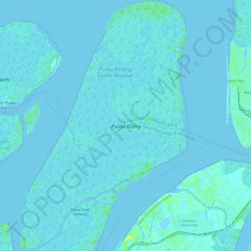
Name: Klang Island topographic map, elevation, terrain.
Location: Klang Island, Klang, Selangor, Malaysia (2.95283 101.26127 3.06906 101.33808)
Average elevation: 1 m
Minimum elevation: -8 m
Maximum elevation: 19 m
Other topographic maps
Click on a map to view its topography, its elevation and its terrain.
Langat River
Malaysia > Selangor > Klang > Jenjarom
Langat River, Jenjarom, Kuala Langat, Selangor, 42600, Malaysia
Average elevation: 4 m
Bukit Cerakah
Bukit Cerakah, Klang, Selangor, 45500, Malaysia
Average elevation: 34 m
Bukit Cherakah
Bukit Cherakah, Klang, Selangor, 42300, Malaysia
Average elevation: 41 m