
Merujal topographic map
Interactive map
Click on the map to display elevation.
About this map
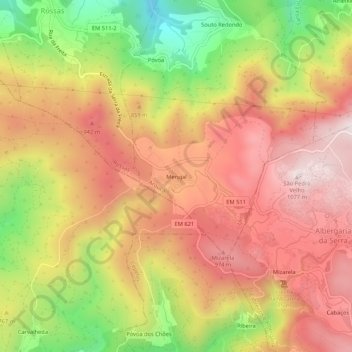
Name: Merujal topographic map, elevation, terrain.
Location: Merujal, Urrô, Arouca, Aveiro, 4540, Portugal (40.85526 -8.31887 40.89526 -8.27887)
Average elevation: 776 m
Minimum elevation: 375 m
Maximum elevation: 1,065 m