
Titi Island topographic map
Interactive map
Click on the map to display elevation.
About this map
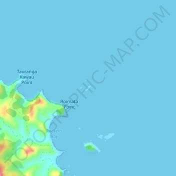
Name: Titi Island topographic map, elevation, terrain.
Location: Titi Island, Whangarei, Northland, Nouvelle-Zélande (-35.46557 174.45565 -35.46477 174.45685)
Average elevation: 5 m
Minimum elevation: 0 m
Maximum elevation: 84 m