
Breuil topographic map
Interactive map
Click on the map to display elevation.
About this map
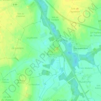
Name: Breuil topographic map, elevation, terrain.
Average elevation: 65 m
Minimum elevation: 54 m
Maximum elevation: 76 m
Other topographic maps
Click on a map to view its topography, its elevation and its terrain.
Grand-Laviers
France > Hauts-de-France > Somme
Grand-Laviers, Abbeville, Somme, Hauts-de-France, Metropolitan France, 80132, France
Average elevation: 32 m
Favières
France > Hauts-de-France > Somme > Favières
Favières, Abbeville, Somme, Hauts-de-France, Metropolitan France, 80120, France
Average elevation: 4 m
Amiens
France > Hauts-de-France > Somme
Amiens, Somme, Hauts-de-France, Metropolitan France, France
Average elevation: 55 m