
Batal topographic map
Interactive map
Click on the map to display elevation.
About this map
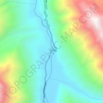
Name: Batal topographic map, elevation, terrain.
Location: Batal, Lahul and Spiti, Himachal Pradesh, India (32.33804 77.59911 32.37804 77.63911)
Average elevation: 4,421 m
Minimum elevation: 3,973 m
Maximum elevation: 5,399 m