
Thank you for supporting this site ❤️
Make a donation
Make a donation
Tremont topographic map
Click on the map to display elevation.
Thank you for supporting this site ❤️
Make a donation
Make a donation
About this map
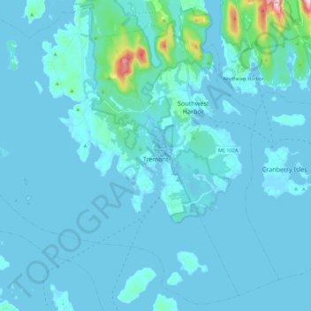
Name: Tremont topographic map, elevation, terrain.
Location: Tremont, Hancock County, Maine, United States (44.18086 -68.51148 44.32992 -68.29319)
Average elevation: 20 m
Minimum elevation: -3 m
Maximum elevation: 356 m
Thank you for supporting this site ❤️
Make a donation
Make a donation