
安宁镇 topographic map
Interactive map
Click on the map to display elevation.
About this map
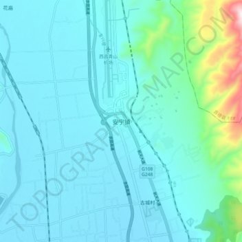
Name: 安宁镇 topographic map, elevation, terrain.
Location: 安宁镇, 西昌市, 凉山彝族自治州, 四川省, 中国 (27.92489 102.14944 28.00489 102.22944)
Average elevation: 1,612 m
Minimum elevation: 1,514 m
Maximum elevation: 2,286 m
Other topographic maps
Click on a map to view its topography, its elevation and its terrain.