
El Pozo topographic map
Interactive map
Click on the map to display elevation.
About this map
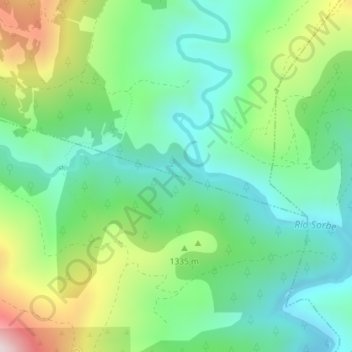
Name: El Pozo topographic map, elevation, terrain.
Average elevation: 1,280 m
Minimum elevation: 1,094 m
Maximum elevation: 1,686 m
Other topographic maps
Click on a map to view its topography, its elevation and its terrain.
Valverde de los Arroyos
España > Castilla-La Mancha > Valverde de los Arroyos
Valverde de los Arroyos, Guadalajara, Castilla-La Mancha, 19224, España
Average elevation: 1,414 m