
Emsdorf topographic map
Interactive map
Click on the map to display elevation.
About this map
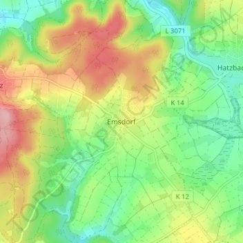
Name: Emsdorf topographic map, elevation, terrain.
Location: Emsdorf, Regierungsbezirk Gießen, Hessen, Deutschland (50.84707 8.96540 50.88707 9.00540)
Average elevation: 286 m
Minimum elevation: 226 m
Maximum elevation: 372 m