
Make a donation
Cocos (Keeling) Islands topographic map
Click on the map to display elevation.
Make a donation
Cocos (Keeling) Islands
The Cocos (Keeling) Islands consist of two flat, low-lying coral atolls with an area of 14.2 square kilometres (5.5 sq mi), 26 kilometres (16 mi) of coastline, a highest elevation of 5 metres (16 ft) and thickly covered with coconut palms and other vegetation. The climate is pleasant, moderated by the southeast trade winds for about nine months of the year and with moderate rainfall. Tropical cyclones may occur in the early months of the year.
Make a donation
About this map
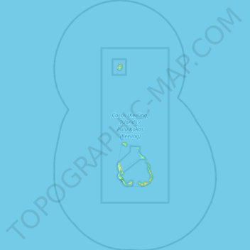
Name: Cocos (Keeling) Islands topographic map, elevation, terrain.
Location: Cocos (Keeling) Islands, Australia (-12.41188 96.61158 -11.62124 97.13496)
Average elevation: 0 m
Minimum elevation: -1 m
Maximum elevation: 20 m
Make a donation
Other topographic maps
Click on a map to view its topography, its elevation and its terrain.
Make a donation
Make a donation
Make a donation
Make a donation