
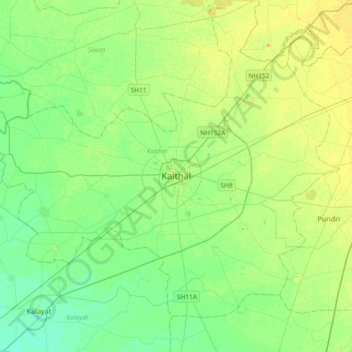
Kaithal topographic map
Interactive map
Click on the map to display elevation.
About this map
Name: Kaithal topographic map, elevation, terrain.
Location: Kaithal, Sangrūr, Kaithal, Haryana, 132027, Índia (29.63966 76.23899 29.95966 76.55899)
Average elevation: 238 m
Minimum elevation: 228 m
Maximum elevation: 252 m