
Thank you for supporting this site ❤️
Make a donation
Make a donation
Rotuma topographic map
Click on the map to display elevation.
Thank you for supporting this site ❤️
Make a donation
Make a donation
About this map
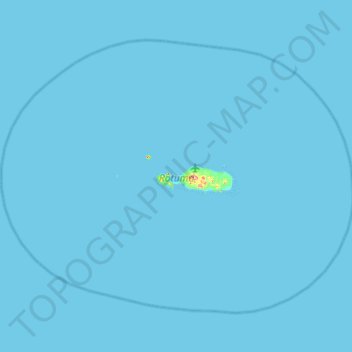
Name: Rotuma topographic map, elevation, terrain.
Location: Rotuma, Fiji (-12.73247 176.72958 -12.26139 177.35158)
Average elevation: 1 m
Minimum elevation: 0 m
Maximum elevation: 242 m
Thank you for supporting this site ❤️
Make a donation
Make a donation