
Mont Lang Biang belvédère topographic map
Interactive map
Click on the map to display elevation.
About this map
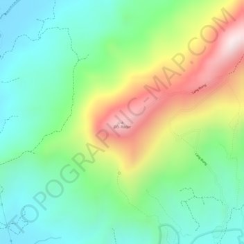
Name: Mont Lang Biang belvédère topographic map, elevation, terrain.
Average elevation: 1,620 m
Minimum elevation: 1,425 m
Maximum elevation: 1,945 m