
Sungai Kerayong topographic map
Interactive map
Click on the map to display elevation.
About this map
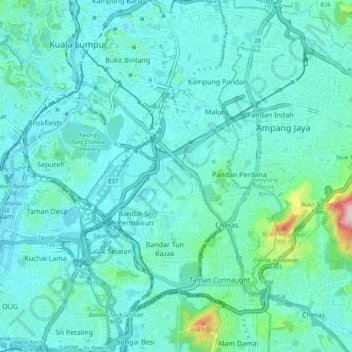
Name: Sungai Kerayong topographic map, elevation, terrain.
Average elevation: 67 m
Minimum elevation: 17 m
Maximum elevation: 393 m
Other topographic maps
Click on a map to view its topography, its elevation and its terrain.
Kampung Indah Permai
Malaysia > Selangor > Ampang Jaya Municipal Council > Kampung Indah Permai
Average elevation: 137 m
Hulu Kelang
Malaysia > Selangor > Ampang Jaya Municipal Council > Hulu Kelang
Average elevation: 147 m