
Woerdense Verlaat topographic map
Interactive map
Click on the map to display elevation.
About this map
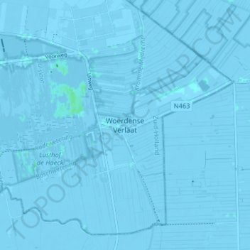
Name: Woerdense Verlaat topographic map, elevation, terrain.
Location: Woerdense Verlaat, Südholland, Niederlande, 3652LL, Niederlande (52.13474 4.84386 52.17474 4.88386)
Average elevation: -2 m
Minimum elevation: -6 m
Maximum elevation: 4 m