
Thank you for supporting this site ❤️
Make a donation
Make a donation
Sornfelli topographic map
Click on the map to display elevation.
Thank you for supporting this site ❤️
Make a donation
Make a donation
About this map
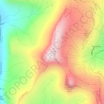
Name: Sornfelli topographic map, elevation, terrain.
Location: Sornfelli, Skælingur, Streymoyar sýsla, 336, Færøerne (62.06872 -6.96709 62.06882 -6.96699)
Average elevation: 386 m
Minimum elevation: 0 m
Maximum elevation: 744 m
Thank you for supporting this site ❤️
Make a donation
Make a donation