
Thank you for supporting this site ❤️
Make a donation
Make a donation
Kaguklettur topographic map
Click on the map to display elevation.
Thank you for supporting this site ❤️
Make a donation
Make a donation
About this map
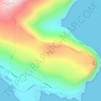
Name: Kaguklettur topographic map, elevation, terrain.
Location: Kaguklettur, Froðba, Suðuroyar sýsla, 825, Færøerne (61.55671 -6.76704 61.55681 -6.76694)
Average elevation: 152 m
Minimum elevation: -4 m
Maximum elevation: 473 m
Thank you for supporting this site ❤️
Make a donation
Make a donation