
Thank you for supporting this site ❤️
Make a donation
Make a donation
Mathatha topographic map
Click on the map to display elevation.
Thank you for supporting this site ❤️
Make a donation
Make a donation
About this map
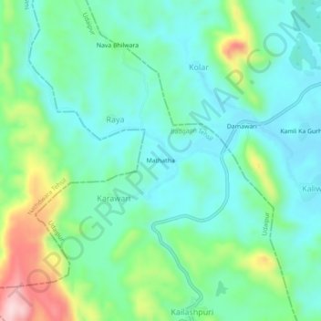
Name: Mathatha topographic map, elevation, terrain.
Location: Mathatha, Karawari, Badgaon Tehsil, Udaipur, Rajasthan, India (24.74486 73.69792 24.78486 73.73792)
Average elevation: 658 m
Minimum elevation: 580 m
Maximum elevation: 880 m
Thank you for supporting this site ❤️
Make a donation
Make a donation