
Thank you for supporting this site ❤️
Make a donation
Make a donation
Bhunga topographic map
Click on the map to display elevation.
Thank you for supporting this site ❤️
Make a donation
Make a donation
About this map
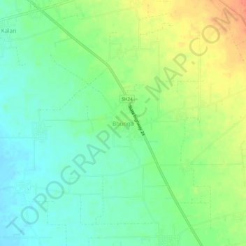
Name: Bhunga topographic map, elevation, terrain.
Location: Bhunga, Hoshiarpur Tahsil, Hoshiarpur, Punjab, 144210, India (31.65926 75.78661 31.69926 75.82661)
Average elevation: 303 m
Minimum elevation: 285 m
Maximum elevation: 330 m
Thank you for supporting this site ❤️
Make a donation
Make a donation