
Thank you for supporting this site ❤️
Make a donation
Make a donation
Nounsavath topographic map
Click on the map to display elevation.
Thank you for supporting this site ❤️
Make a donation
Make a donation
About this map
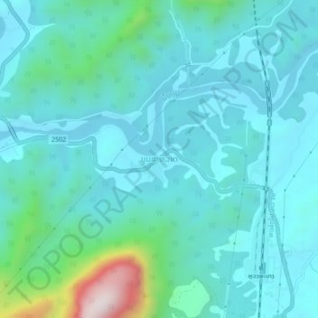
Name: Nounsavath topographic map, elevation, terrain.
Location: Nounsavath, Luang Prabang District, Luang Prabang, Laos (19.86142 102.17992 19.90142 102.21992)
Average elevation: 392 m
Minimum elevation: 281 m
Maximum elevation: 1,002 m
Thank you for supporting this site ❤️
Make a donation
Make a donation