
Bahar Utara topographic map
Interactive map
Click on the map to display elevation.
About this map
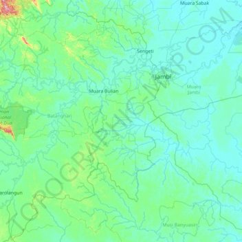
Name: Bahar Utara topographic map, elevation, terrain.
Location: Bahar Utara, Jambi, Indonesia (-2.59050 102.66463 -1.19050 104.06463)
Average elevation: 39 m
Minimum elevation: -2 m
Maximum elevation: 574 m