
Thank you for supporting this site ❤️
Make a donation
Make a donation
Likh'efing topographic map
Click on the map to display elevation.
Thank you for supporting this site ❤️
Make a donation
Make a donation
About this map
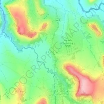
Name: Likh'efing topographic map, elevation, terrain.
Location: Likh'efing, Butha-Buthe District, Lesotho (-28.74461 28.22626 -28.70461 28.26626)
Average elevation: 1,656 m
Minimum elevation: 1,591 m
Maximum elevation: 1,761 m
Thank you for supporting this site ❤️
Make a donation
Make a donation
Other topographic maps
Click on a map to view its topography, its elevation and its terrain.