
Thank you for supporting this site ❤️
Make a donation
Make a donation
Kampung Cina topographic map
Click on the map to display elevation.
Thank you for supporting this site ❤️
Make a donation
Make a donation
About this map
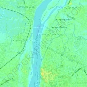
Name: Kampung Cina topographic map, elevation, terrain.
Location: Kampung Cina, Kota Bharu, Kelantan, 15000, Malaysia (6.12289 102.21554 6.16289 102.25554)
Average elevation: 7 m
Minimum elevation: 0 m
Maximum elevation: 18 m
Thank you for supporting this site ❤️
Make a donation
Make a donation
Other topographic maps
Click on a map to view its topography, its elevation and its terrain.