
Thank you for supporting this site ❤️
Make a donation
Make a donation
Rhineland topographic map
Click on the map to display elevation.
Thank you for supporting this site ❤️
Make a donation
Make a donation
About this map
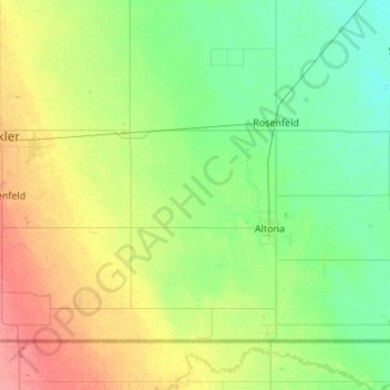
Name: Rhineland topographic map, elevation, terrain.
Location: Rhineland, Manitoba, Canada (49.00046 -97.86635 49.26657 -97.32494)
Average elevation: 254 m
Minimum elevation: 236 m
Maximum elevation: 292 m
Thank you for supporting this site ❤️
Make a donation
Make a donation